


We use cookies to help us understand how you use our site and for advertising. For more details, click here.
The Ayres are about 6 miles north of Ramsey on the very northern tip of the island.
An 8 mile long flat walk by the sea, easy in places, but the beach is stony and can be difficult to walk on. You can shorten the walk by driving to the visitor centre, as the route is easier here, over flat dunelands.
While not directly on the walk, there is an excellent cafe in Bride Village.
Postcode for Satnav - IM7 4BS is the Point of Ayre lighthouse.
Take the A9 north out of Ramsey, then turn right onto the A10, signposted 'Bride'. follow the A10 north, through Bride and Cranstall villages. You will see a tall red and white lighthouse ahead, then two smaller ones on the right. As you approach them, take a right hand turn on a rough road to a car park. For better disabled access, take a left turn in Bride village by the tea room, then about a mile along the coast road, turn right up a narrow road signposted 'Ayres visitor centre'. This will take you to the central carpark shown on the accompanying map.
Click here to see a detailed routemap of the walk. It will open in a new tab.
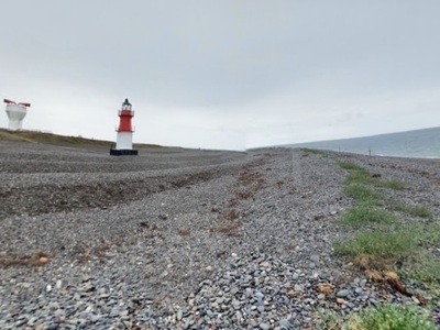
From the car park by the lighthouses, head over the dunes to the stony beach. Here we were treated to the sight of about 20 gray seals, who followed us up the beach for a while.
 Follow the beach around past the lighthouses and foghorn, then right along for nearly two miles until you see a raised viewing platform in the dunes. If you find the rocky beach too hard going, you can walk on paths behind the dunes, once you get past the lighthouses.
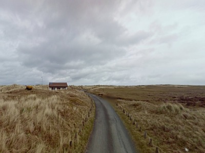
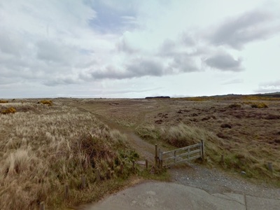
Turn down past the visitor centre for the nature reserve,
 then take a path on the left into the flat area behind the dunes, called 'The Ayres'.
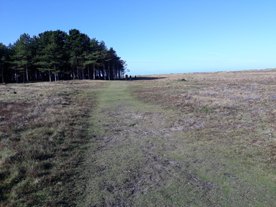
 This path runs along past a small wood,
 then continues on for about another 2 miles,
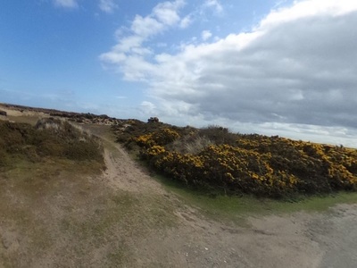
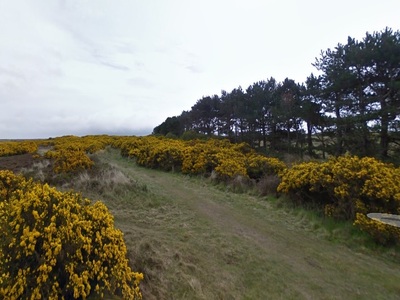
 past more woods and gorse bushes,
 until you finally reach the last car park on the Ballakinnag road.
 If you make it this far, now retrace your steps, but you can find alternate paths through the dunes.
The name Point of Ayre comes from Norse word Eyrr which means gravelly beach. The largest of the three lighthouses was built in 1818 and is still in use today. The strong currents in the sea are pushing the gravelly beach east and south, so the banks built up over time and moved away from this lighthouse. A second, smaller lighthouse had to be built nearer the sea, called the Winkie. The Winkie, and the foghorn tower are not used now, as ships have better navigation methods.
The area around and to the west of the point is a nature reserve, and looks completely different to the rest of the island.
 Cafe nearby
  poo bins available
 Historical buildings near the walk
Tap or Click on the Icon to see a picture of each walk. Click below the picture to visit the walk page.
Comments
No comments for this page yet.
Be the first to add a comment - tap the button above